
Location Services
Observe self reporting and location-based RF communication in your area.
ADS-B
Automatic Dependent Surveillance–Broadcast (ADS–B) is an advanced surveillance technology that combines an aircraft’s positioning source, aircraft avionics, and a ground infrastructure to create an accurate surveillance interface between aircraft and ATC. Read More...
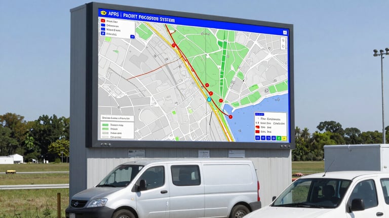
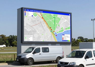
APRS
It is a two-way tactical real-time digital communications system between all assets in a network sharing information about everything going on in the local area. Read More...


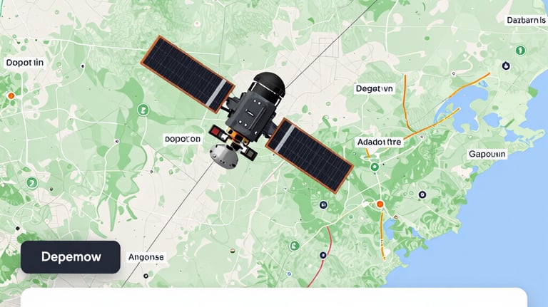
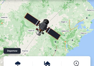
ISS / Satellite Tracker
Track satellites in real-time on an interactive 3D map. See Starlink trains, space stations, rocket bodies, and satellite passes visible from your location. Also check out this site.
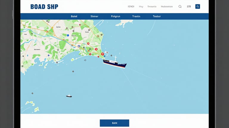
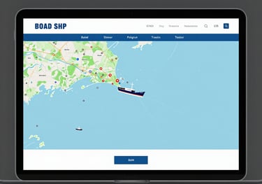
AIS
Imagine a shipboard radar or an electronic chart display that includes a symbol for every significant ship within radio range, each with a velocity vector (indicating speed and heading). Each ship "symbol" can reflect the actual size of the ship, with position to GPS or differential GPS accuracy. Read More...
Radiosonde
A radiosonde is a miniaturized telemetry instrument package suspended beneath a weather balloon that measures atmospheric conditions—such as altitude, air pressure, temperature, humidity, and wind speed—as it ascends, continuously broadcasting the data via radio signals to a ground receiver. Read More...


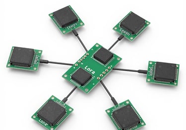
Meshtastic
An open source, off-grid, decentralized mesh network built to run on affordable, low-power devices. No cell towers. No internet. Just pure peer-to-peer connectivity. Read More...
This website is sponsored by Flag & Torch Society, K2FTS, 501(c)3
Contact
© 2024. All rights reserved.